About the Genealogical Surveyor
Since founding The Genealogical Surveyor in 2013, Thad Swestyn (Owner, Cartographer, & Surveyor) has been dedicated to sharing the fascinating process of locating historical places using maps.
What began with a collection of nearly 400 coal mine and oil/gas maps has grown significantly. Today, our archives boast over 11,000 maps, with new additions daily, continually expanding our resources for historical exploration.
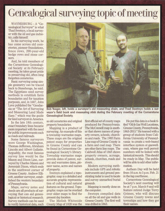
You can see an example of our work and Thad's expertise in the newspaper article featured here, which details a presentation he gave to the Cornerstone Genealogical Society on using maps to pinpoint historic locations.

High quality maps.
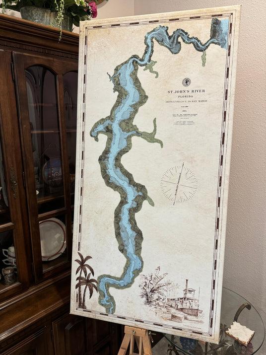
We provide high quality detailed maps on archival matte map paper or fine art canvas. This photo is of a canvas gallery wrap of the St Johns River in Florida.


